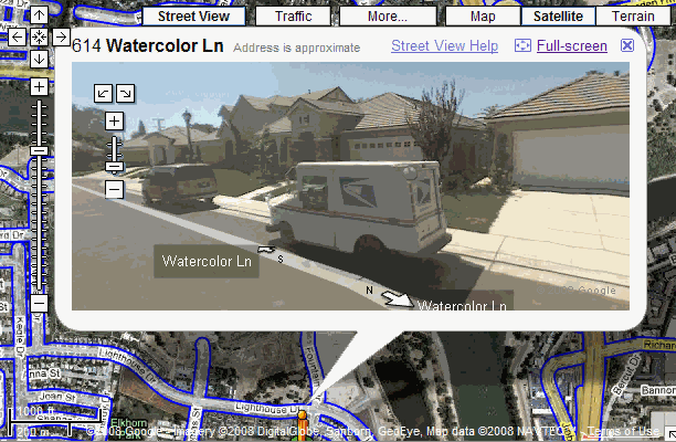
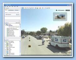
Google Street View is a feature of Google Maps and Google Earth that provides 360° panoramic street-level views and allows users to view parts of selected cities and their surrounding metropolitan areas at ground level. When it was launched on May 25, 2007, only five cities were included. It has since expanded to more than 40 U.S. cities, and includes the suburbs of many, and in some cases, other nearby cities.
Google Street View displays photos that were previously taken by a camera mounted on an automobile, and can be navigated using either the arrow keys on the keyboard or by using the mouse to click on arrows displayed on the screen. Using these devices, the photos can be viewed in different sizes, from any direction, and from a variety of angles. Lines that are displayed along the street that is shown indicate the direction followed by that street.