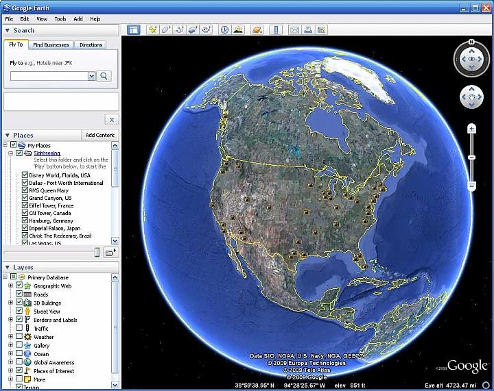
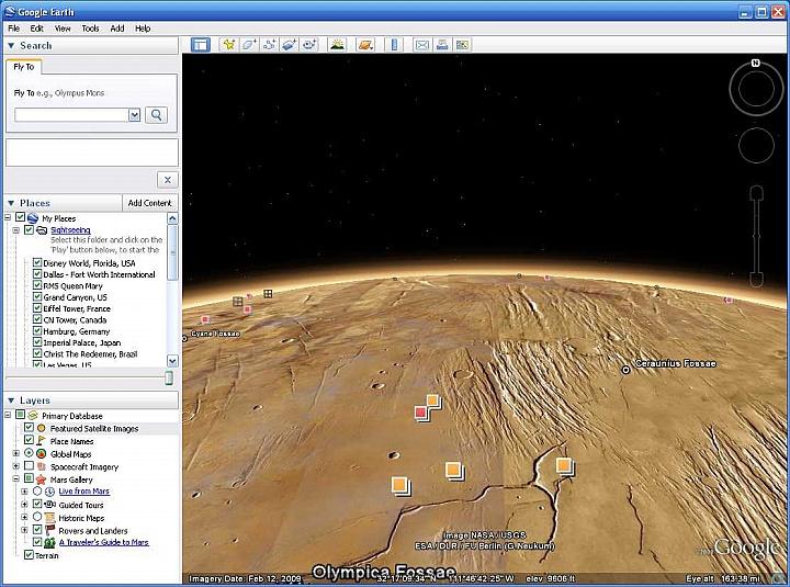
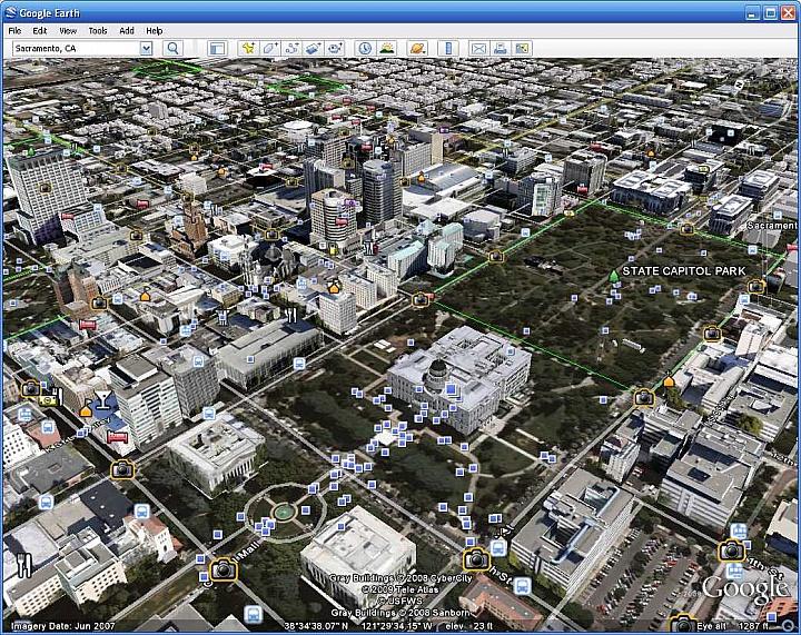
SAN FRANCISCO, Calif. (4-11-2012) – Google Inc. (NASDAQ: GOOG) today announced the launch of ocean in Google Earth, a new feature that enables users of Google Earth to dive beneath the water surface, explore 3D underwater terrain and browse ocean-related content contributed by leaders in ocean science and advocacy. The new version of Google Earth also introduces Historical Imagery, a feature that enables users to virtually travel back in time through archival satellite and aerial imagery, Touring, which makes it simple to create a narrated tour in Google Earth and share it with the world and Google Mars 3D, which features hi-res imagery and terrain of the red planet.
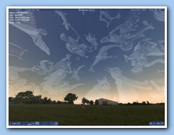
"With this latest version of Google Earth you can not only zoom into whatever part of our planet’s surface you wish to examine in closer detail, you can now dive into the world’s oceans that cover almost three-quarters of the planet and discover new wonders that had not been accessible in previous versions of this magical experience," said The Honorable Al Gore at this morning's launch event in San Francisco. "Moreover, with the new historical imagery feature, you can look back in time and see for yourself the unprecedented pace of change taking place on the Earth — largely because of human influences. For example, you can watch the melting of the largest glacier in Glacier National Park—the Grinnell Glacier—image by image, for the last decade."
"In discussions about climate change, the world's oceans are often overlooked despite being an integral part of the issue," said Eric Schmidt, CEO of Google. "About one-third of the carbon dioxide that we emit into the atmosphere ends up in the oceans. Furthermore, biodiversity loss in our oceans in the next 20-30 years will be roughly equivalent to losing an entire Amazon rainforest, but this goes unnoticed because we can't see it. This is why today's launch of Google Earth 5.0 is so important - it gives us an opportunity to change everyone's perspective."
Ocean in Google Earth combines sea floor terrain and expert content to provide users with an opportunity to explore some of the most difficult-to-reach parts of the world. Virtual travelers to Hawaii, for example, can examine underwater volcanoes, see videos about the exotic marine life of the region, read about nearby shipwrecks and contribute photos and videos of favorite surf spots.
The ocean feature is on by default in the newest version of Google Earth. As users zoom in on the ocean they will see a dynamic water surface, and once they dive beneath the surface they can navigate 3D sea floor terrain.
The feature includes 20 content layers, containing information contributed by the world's leading scientists, researchers, and ocean explorers (for a full list of partners please visit http://www.google.com/earth/index.html). These include:
- An "Explore the Ocean" layer containing photos and videos about ocean hot spots around the world contributed by over 80 individuals and organizations
- A National Geographic Magazine geo-quiz and overlays from their new Atlas of the Ocean
- Videos from the archives of Jacques Cousteau, featuring never-before-seen footage of historic ocean expeditions